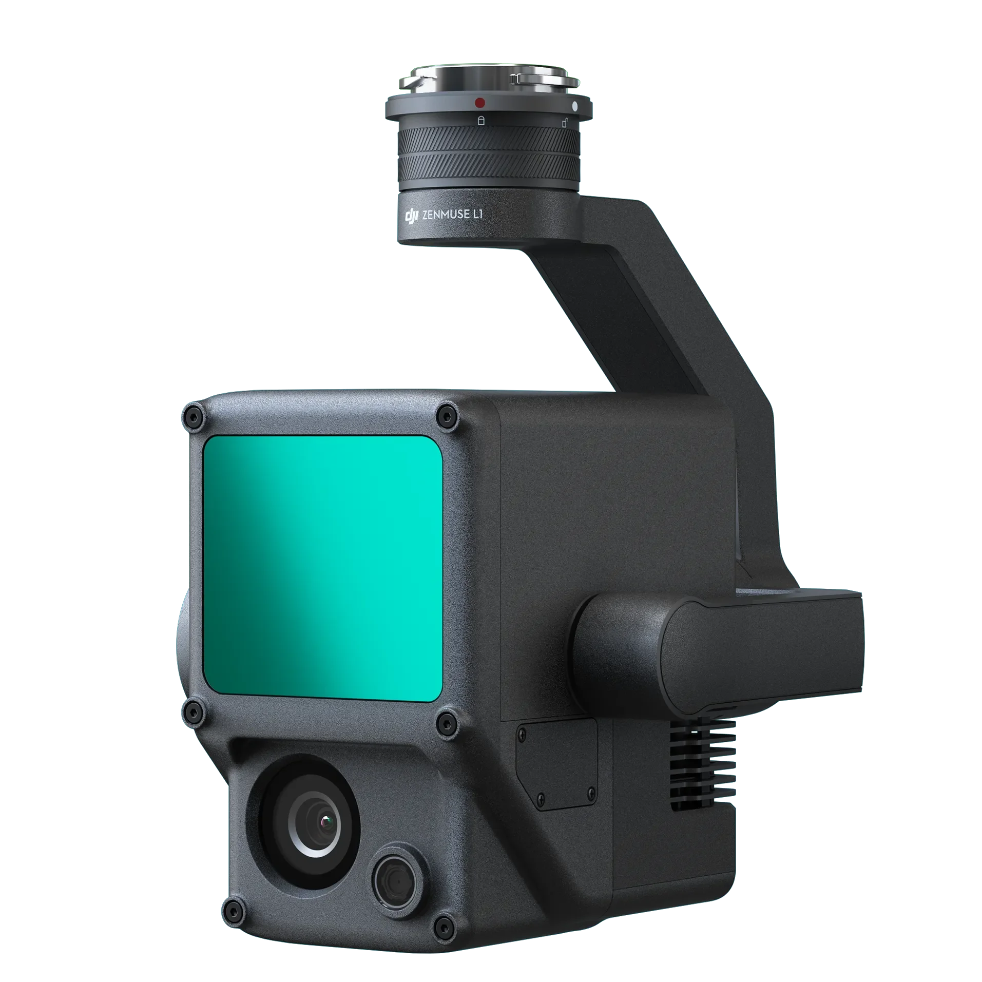
DJI Zenmuse L1
(1 Available)
The DJI Zenmuse L1 is a professional LiDAR payload designed for advanced aerial surveying, mapping, and geospatial data collection. Combining a high-performance LiDAR module with a 20MP camera, the L1 delivers accurate 3D mapping and detailed data capture for complex environments and large-scale projects.
Key Features
Integrated LiDAR module and 20MP camera
High-precision 3D mapping and point cloud generation
Simultaneous LiDAR and image data capture
Efficient data collection for large-scale projects
Compatible with DJI enterprise drone platforms
Reliable performance in challenging environments
Ideal For
LiDAR surveying & mapping
Terrain and topographic modelling
Construction & mining projects
Forestry and vegetation analysis
Infrastructure inspections
Geospatial data collection
Why Hire the Zenmuse L1?
Hiring the Zenmuse L1 provides access to advanced LiDAR technology without the high upfront investment, making it a cost-effective solution for professional aerial mapping, surveying, and inspection projects requiring accurate 3D data capture.
Included in your Hire
DJI Zenmuse L1
Pricing (excluding GST):
3 Days = $750.00
7 Days = $1350.00
14 Days = $2300.00
30 Days = $3300.00
Freight and any extra items to those listed above are available for an additional fee. Rental terms and conditions apply, and full payment is required before dispatch.
For more information, availability, or pick-up/drop-off arrangements, contact Ian on 0411 055 264 or email ian@droneserviceswa.com.au.
Alternatively, complete the enquiry form below.